Following our recent acquisition by Graitec, we’re excited to introduce the next evolution of the Microsol Resources brand. As of April 30, 2025, we have officially joined the Graitec family, a global leader in digital transformation for the architecture, engineering, and construction (AEC) industry.
A Logo That Reflects Our Future
We’re excited to share that Microsol Resources is now part of the Graitec family! For 40 years, we’ve helped AEC firms stay ahead with the best design and construction technology, expert training, and consulting services.
Now, as part of Graitec, we’re bringing you even more—an expanded portfolio of software solutions, deeper industry expertise, and enhanced technical support. Together, we’re doubling down on our commitment to helping your teams work smarter, collaborate better, and deliver exceptional results.
Our new logo reflects this exciting chapter—a refreshed identity that honors our legacy while embracing a bold, modern look aligned with the Graitec brand. This update is more than a visual shift; it’s a signal of our shared mission to continue delivering cutting-edge solutions with the same personalized support you’ve always known us for.
Same Team. Expanded Capabilities.
While our branding has evolved, what remains unchanged is our commitment to you. Our same trusted team is still here to support your projects, now with the added advantage of expanded capabilities and resources from Graitec. From BIM and VDC services to software support and training, you can expect the same level of excellence you’ve come to know—only now, on a more global scale.
New Email Addresses—Please Whitelist Us
As part of this transition, we will also be updating our contact information. Our email addresses will now follow the format: firstname.lastname@graitec.com. We kindly ask you to whitelist @graitec.com in your email system to ensure uninterrupted communication.
The Next Chapter Begins
This rebrand is more than just a new logo. It marks a new era of opportunity for our clients, with deeper technical capabilities, expanded product offerings, and global insights—all while keeping our customer-first approach at the center of everything we do.
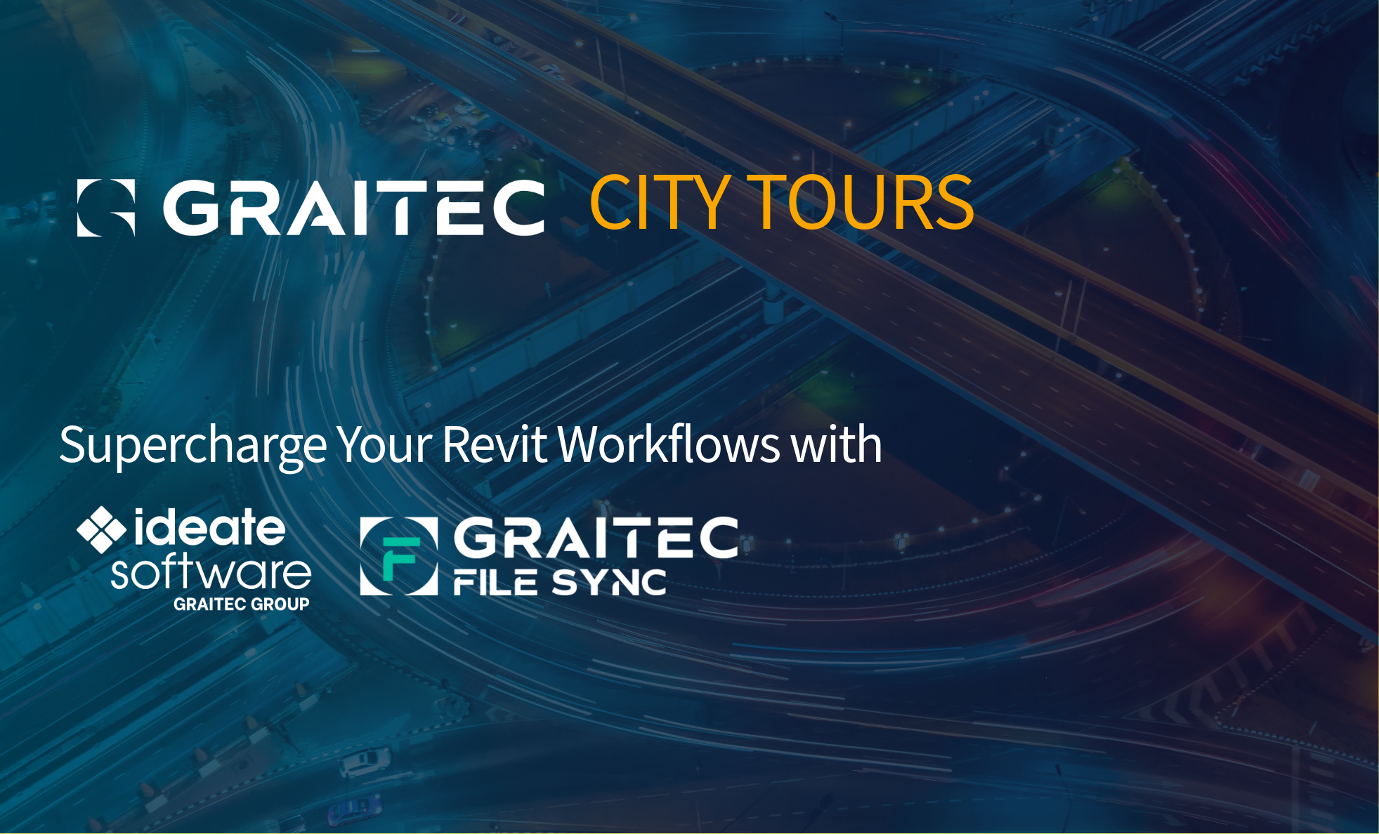
Join us after TECH Perspectives New York on June 26, 2025, for the Graitec Solutions City Tour—an exclusive event where you’ll explore actionable solutions for enhancing data integrity, minimizing risks, and streamlining your design and construction BIM document workflows.
This event combines hands-on demonstrations of Ideate Software with an introduction to Graitec File Sync, designed to help you streamline your Revit tasks and safeguard your project files.
Taking place from 1:00 PM – 3:30 PM at the Japan Society, we’ll kick things off with box lunches provided after TECH Perspectives. Earn 2 AIA Learning Units.
Are you confident that your Revit models and project data are always accurate, up-to-date, and securely backed up?
Your Revit models hold the key to your project’s success—but infrequent publishing, outdated files, and inconsistent backups can put your data at risk. In this session, we’ll show you how to safeguard your Revit project data with practical strategies you can apply right away.
By the end of this session, participants will be able to:
Explain the risks of infrequent model publishing in Revit workflows and describe strategies for mitigating data loss and ensuring model accuracy.
Leverage Ideate Automation with other Ideate products like BIMLink, Explorer, Annotate, and ViewCreator to reduce manual effort and improve accuracy and efficiency.
Identify best practices for data management and security across AEC platforms using Graitec File Sync, ensuring reliable backups and minimizing risks of outdated or lost project files.
Implement workflows that enhance collaboration, data integrity, and productivity across multidisciplinary AEC teams by leveraging automated publishing and file synchronization tools.
Understand the core functionality of Graitec File Sync and its role in synchronizing project-critical files across platforms such as Autodesk Construction Cloud, Procore, Bluebeam, SharePoint, and OneDrive.
Identify key use cases and benefits of File Sync, including automated backups, improved collaboratio,n and reduced project risk through redundancy and continuity.
Save your spot now for the Graitec Solutions New York City Tour. Learn how to work smarter, protect your data, and elevate your Revit workflows—all while enjoying lunch on us!
Why Attend
Empower Your Revit Workflows with Ideate Software
Secure Your Data with Graitec File Sync
Learn directly from experts and ask your questions
Discover time-saving best practices and industry trends
Glynnis Patterson is the Solution Line Vice President at Create–Ideate Software, Graitec Group. Glynnis is a registered architect and has worked within the building information modeling (BIM) industry since 1998. A graduate of Carnegie Mellon University, she has worked as an architect, educator, and construction site manager. Glynnis is the Director of Software Development Services and continues to work with AECO clients worldwide, developing and consulting on solutions to BIM challenges. In her spare time, Glynnis likes to cook, garden, and throw parties. She also likes to support her local community in Morristown, NJ through Grow It Green, Interfaith Food Pantry, and CoHome.org.
Ninad Garware is the Technical Evangelist at Ideate Software, Graitec Group. Ninad Garware is a licensed architect with a unique blend of expertise in both architecture and customer success. He is dedicated to delivering innovative solutions that drive meaningful business outcomes. Over the course of his career, Ninad has led projects totaling over $500 million, including offices, laboratories, residential towers, and affordable housing across the United States. He has worked with internationally recognized firms such as Handel Architects, Gensler, and HOK and has previously led customer success at UpCodes, where he collaborated with AEC companies, building departments, institutions, and developers to enhance design and construction workflows through technology and strategic support.
Tommy Moussis is a Solutions Architect for Data Connect, Graitec Group. Tommy is a seasoned technical solutions architect with over a decade of experience in teaching, consulting, and delivering comprehensive hardware and software solutions for engineering firms and manufacturing facilities throughout North America and the United Kingdom. His expertise spans a wide range of disciplines, with a strong emphasis on streamlining operations and enhancing digital workflows within the architecture, engineering, and construction (AEC) industry.
Currently, Tommy plays a pivotal role within the Data Connect business unit at Graitec, where he oversees both the commercial and technical strategy for File Sync across North America. He is known for his ability to align technical execution with business outcomes, ensuring that clients receive scalable and impactful solutions tailored to their operational needs.
Discover What’s New in Autodesk: Stay Ahead with Microsol Resources
Are you curious about the latest Autodesk features and how they can enhance your workflow? Wondering how Building Information Modeling (BIM) can drive efficiency and innovation in your projects?
At Microsol Resources, we make it easy for you to stay up to date with the latest advancements through our annual What’s New with Autodesk webinar series. These sessions dive deep into the newest features across Autodesk’s suite of tools—including AutoCAD, Revit, Autodesk Construction Cloud, Civil 3D, 3ds Max, and more—so you can maximize productivity, improve collaboration, and integrate cutting-edge BIM workflows seamlessly.
Why Tune In?
With every new release, Autodesk introduces powerful enhancements designed to optimize workflows, boost efficiency, and enhance project collaboration. Our webinars go beyond just listing new features—we focus on practical applications, expert insights, and real-world tips to help you get the most out of the latest software updates.
Key Takeaways from Our Webinar Series
Time-Saving Enhancements — Work faster and smarter with new automation tools and performance improvements.
Improved Collaboration — Explore features that streamline teamwork across disciplines, from architects to engineers and contractors.
Advanced BIM Integration —See how the latest tools support seamless data sharing and coordination in complex projects.
Watch Our Past Webinar Series
Missed a session? Explore our archive of What’s New with Autodeskwebinar series and see how Autodesk has evolved over the years:
Microsol Resources will bring you the latest information on Autodesk products so be sure always to follow our website, blog, and social networks to stay up to date.
Stay ahead of the curve and see the demos of the new features with our building and infrastructure specialists.
Features the latest informative and technical content provided by our industry experts for designers, engineers, and construction firms and facility owners.

 Glynnis Patterson is the Solution Line Vice President at Create–Ideate Software, Graitec Group. Glynnis is a registered architect and has worked within the building information modeling (BIM) industry since 1998. A graduate of Carnegie Mellon University, she has worked as an architect, educator, and construction site manager. Glynnis is the Director of Software Development Services and continues to work with AECO clients worldwide, developing and consulting on solutions to BIM challenges. In her spare time, Glynnis likes to cook, garden, and throw parties. She also likes to support her local community in Morristown, NJ through Grow It Green, Interfaith Food Pantry, and CoHome.org.
 Ninad Garware is the Technical Evangelist at Ideate Software, Graitec Group. Ninad Garware is a licensed architect with a unique blend of expertise in both architecture and customer success. He is dedicated to delivering innovative solutions that drive meaningful business outcomes. Over the course of his career, Ninad has led projects totaling over $500 million, including offices, laboratories, residential towers, and affordable housing across the United States. He has worked with internationally recognized firms such as Handel Architects, Gensler, and HOK and has previously led customer success at UpCodes, where he collaborated with AEC companies, building departments, institutions, and developers to enhance design and construction workflows through technology and strategic support.
 Tommy Moussis is a Solutions Architect for Data Connect, Graitec Group. Tommy is a seasoned technical solutions architect with over a decade of experience in teaching, consulting, and delivering comprehensive hardware and software solutions for engineering firms and manufacturing facilities throughout North America and the United Kingdom. His expertise spans a wide range of disciplines, with a strong emphasis on streamlining operations and enhancing digital workflows within the architecture, engineering, and construction (AEC) industry.