


Smart Construction Progress Tracking using GeoSLAM
By Anna Liza Montenegro | Surveying
Construction Progress is a smart monitoring solution to track the progress of large construction projects using mobile LiDAR and automated analytics.
GeoSLAM’s Construction Progress combines hardware, advanced SLAM ((Simultaneous Localisation and Mapping), and analytics to deliver crucial site information to your teams quickly and easily. Automatically generate clear progress reports with visualizations that show you the build progress made on site.
It’s used by construction companies to track and record progress against a 3D model or a previous scan to improve efficiency, save money, create unbiased progress reports and provide valuable data to help resolve any disputes that may arise.
How does it work?
1. It starts with SLAM
SLAM (Simultaneous Localisation and Mapping) creates a digital model of a site, by using a handheld mobile scanner. The SLAM technology used inside
GeoSLAM’s product portfolio was developed by some of the smartest people on our planet. As you walk around your construction site, 43,000 invisible laser beams are emitted per second, and this is what forms a digital map.
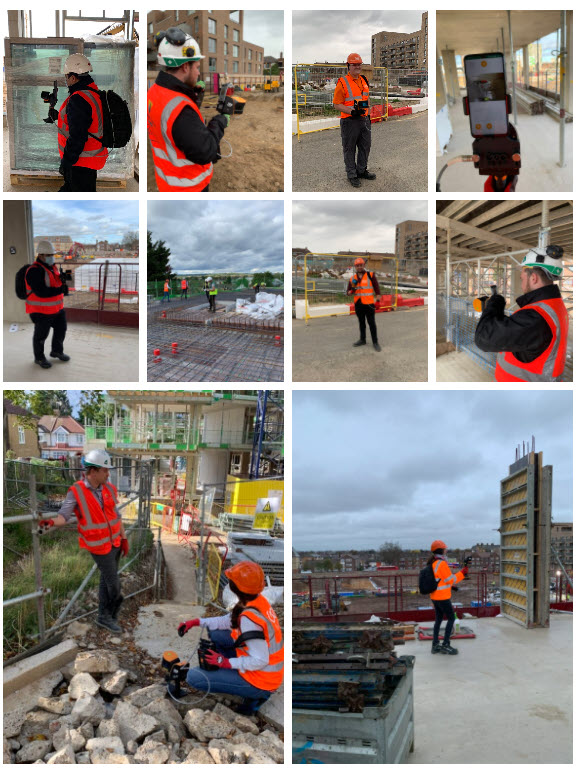
2. Capture
Using GeoSLAM’s mobile mapping system, capture regular scans by walking around the site. Within one hour, it will tell you what’s changed – automatically. No guessing, no maths, just the press of a button (and some very clever algorithms). You can compare each scan against the previous scan, or to a CAD model.
3. Process
Plug your ZEB scanner into a computer, and we’ll automatically process the data using our smart data platform, GeoSLAM Connect. We can set the file to be automatically saved to a network folder of your choice, each time a scan is completed.
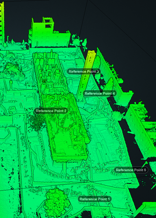
4. View
View your 3D data, see notes, voice notes, or photos located where they were made. Save your photographs and notes for reference or team collaboration. See what’s changed against a previous scan, or 3D model.
5.Create
You’ll have an easy-to-understand PDF report automatically generated and emailed to you, or saved in a file location of your choice. The PDF report will show the percentage of work complete or incomplete (compared to the 3D model) and simple visualization of the site highlighting 3D change. A digital record of site progress over time can now be captured, reported, and stored for the life of the project.
6. Where next?
You choose to sync the results of your project to collaboration tools such as Autodesk BIM 360, Dalux, Viewpoint 4projects. You can also export the data to CAD packages or your CDE (common data environment).
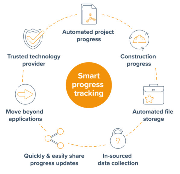
What are the benefits of using GeoSLAM for construction progress?
- Automated project progress with transparent, easy to understand, shareable PDF reports
- See your construction progress through the life cycle of a project, helping to report, avoiding disputes, and delay penalties
- Automated file storage compatible with industry collaboration platforms so the full project team and stakeholders can access progress reports anytime
- In-sourced data collection no waiting for external contractors, collect data when you need it
- Quickly and easily share project progress updates ensuring full transparency
- Move beyond whiteboards and WhatsApp with easy to implement, digital construction progress
- GeoSLAM is a trusted technology provider for some of the Worlds largest companies
“We have been trialling the ZEB Go on numerous construction sites. It is extremely easy to use and has been adopted by various colleagues throughout the site. The speed of capture has resulted in us being able to capture a full site in a fifth of the time compared to our existing scanner.”
Which scanner is best for tracking construction progress?
Each one of the following GeoSLAM laser scanners collects data with high speed and precision, and pairs with GeoSLAM’s Draw BIM software.
Check out the differences to fit the scanner for your own project needs.
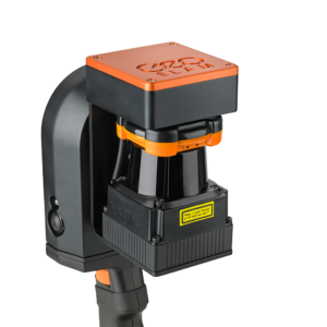
If you’re looking for a reliable way to map and understand spaces, check out the ZEB Go. Whether it’s the first time you’ve looked at digital surveying, or you want each of your sites equipped with the smartest SLAM, the ZEB Go is the place to start.
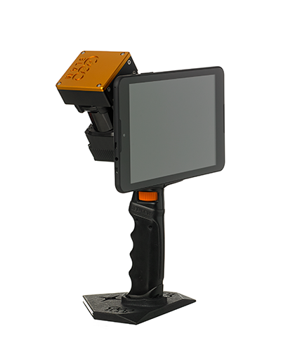
ZEB Revo RT is a unique, lightweight revolving laser-scanner that allows you to scan and process simultaneously, as you walk. Handheld, pole-mounted, or attached to your chosen mobile platform such as a vehicle or UAV and pass through your target survey environment to record more than 40,000 measurement points/second.
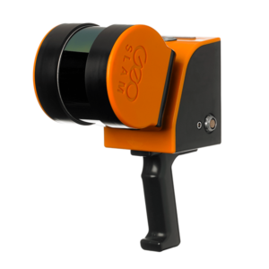
With a range of 100m, the ZEB Horizon 3D mobile scanner is great for outdoor use, yet its lightweight and compact design also makes it perfect for indoor surveys.
Summary
Automatically generate clear progress reports with visualizations that show you the build progress made on site. It’s used by construction companies to track and record progress against a 3D model or a previous scan to improve effi ciency, save money, create unbiased progress reports and provide valuable data to help resolve any disputes that may arise.
If you have additional questions on how to get started, feel free to contact us at geoslam@microsolreosurces.com.
Interested in surveying and data capture into a 3D model or 2D drawing, so you can start your design with accurate dimensions?
INDUSTRIES: Architecture, Buildings, Construction, MEP Engineering, Structural Engineering