


Scan to BIM
By Anna Liza Montenegro | Surveying
As companies embark on their digitization path it is crucial to find solutions that cover all aspects from design to handover and allow for a seamless flow of information.
Building Information Modeling (BIM) and digital twin market is highly competitive and has been growing in popularity over the last decade. Many sectors and market segments have started to realize the benefits of having a digital twin of an asset, especially if there is a large portfolio of buildings to manage.
Facilities management, IoT deployment, and general maintenance of the assets become easier when there is a thorough understanding of the building. The challenge has always been to get the information about the building quickly and accurately without exorbitant costs and time delays waiting for plans to be drawn up and manually measured.
The way we understand buildings is changing.
Scan to BIM means capturing a space, and turning it into a digital model that can be used for planning, monitoring, or managing the built environment, and communicating and sharing project information with stakeholders.
GeoSLAM Scan to BIM is a simple way of rapidly capturing essential information about space, creating a point cloud, and importing the data into a BIM software, like Autodesk Revit.
Why GeoSLAM Scan to BIM?
“I want an easy way of capturing an asset quickly and accurately, and generate a BIM model in the least amount of time as possible.”
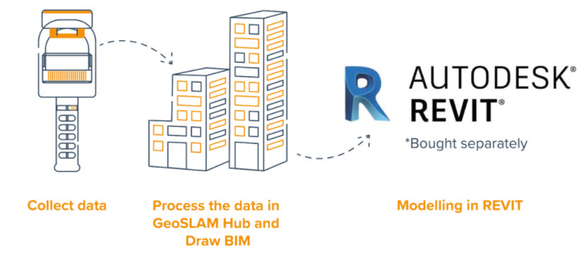
Easy steps from scan to BIM
Scan to BIM combines hardware, advanced SLAM [Simultaneous Location and Mapping] that creates a digital model of a site by using a handheld mobile scanner, and GeoSLAM’s Draw BIM software to rapidly deliver accurate 3D models.
Step 1: Collect data
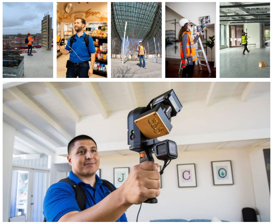
The GeoSLAM ZEB handheld mobile mapping system was used to collect all data required over three stories within 8 minutes of turning the scanner on.
Step 2: Process the data in GeoSLAM Hub and Draw BIM
The data is uploaded to GeoSLAM Hub on-site, which creates a 3D point cloud. The point cloud is natively opened in Draw BIM, an add-on package to GeoSLAM Hub. Floorplans and sections are extracted, so the data could be aligned and walls squared up. The data is exported in RCP format, ready to be loaded into Revit.
Step 3: Modelling in Revit
A new Revit project is created, and the technician creates levels and corresponding views, using the point cloud for reference. Walls, doors, windows, the roof, and other key architectural and structural components were modeled. The finished model is level of design (LOD) 300.
What are the benefits of scan to BIM?
- Save Time | Use GeoSLAM for all data capture onsite for rapid information when you need it
- Save Money | No outsourcing required, easy and simple handheld scanners
- Digitize your Space | Unlock valuable information about buildings through their lifecycle
- Compatibility | Easily export GeoSLAM data to third party software packages
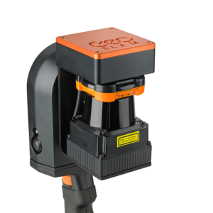
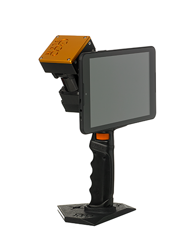
Which scanner is best for scan to BIM?
Each one of the following GeoSLAM laser scanners collects data with high speed and precision, and pairs with GeoSLAM’s Draw BIM software.
Check out the differences to fit the scanner for your own project needs.
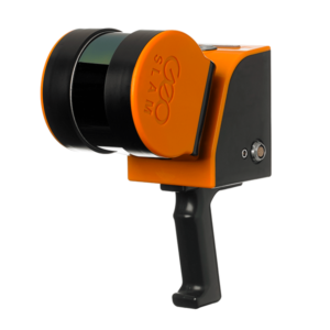
If you’re looking for a reliable way to map and understand spaces, check out the ZEB Go. Whether it’s the first time you’ve looked at digital surveying, or you want each of your sites equipped with the smartest SLAM, the ZEB Go is the place to start.
ZEB Revo RT is a unique, lightweight revolving laser-scanner that allows you to scan and process simultaneously, as you walk. Handheld, pole-mounted, or attached to your chosen mobile platform such as a vehicle or UAV and pass through your target survey environment to record more than 40,000 measurement points/second.
With a range of 100m, the ZEB Horizon 3D mobile scanner is great for outdoor use, yet its lightweight and compact design also makes it perfect for indoor surveys.
Summary
Scan to BIM is vastly used by all the stakeholders in the design and construction industry as it saves a lot of time and cost of the project. It also provides a platform to see real-time changes and visualize the site resulting in increased efficiency.
Whether you’re thinking about getting started in 3D laser scanning or you’ve been doing it for years, we can assist you with the best practices from scan to BIM.
If you have additional questions on how to get started, feel free to contact us at geoslam@microsolreosurces.com.
Interested in surveying and data capture into a 3D model or 2D drawing, so you can start your design with accurate dimensions?
INDUSTRIES: Architecture, Buildings, Construction, MEP Engineering, Structural Engineering