BENEFITS OF USING ZEB Go
Powered by the smartest SLAM
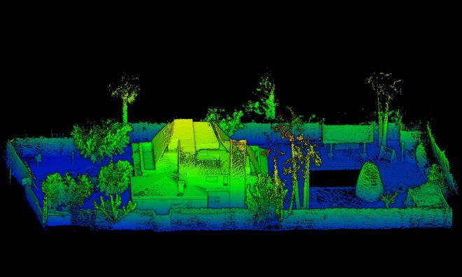
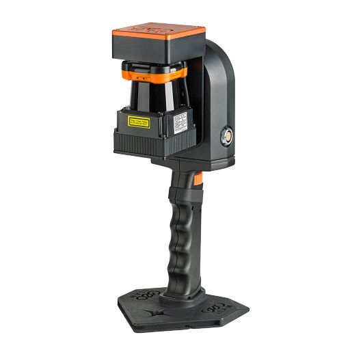
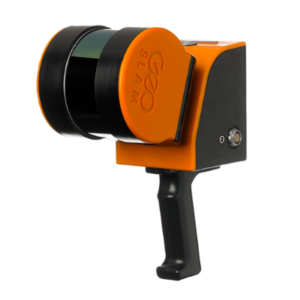
If you’re looking for a reliable way to map and understand spaces, meet the ZEB Go. The ZEB Go is your first step in SLAM handheld technology, so whether it’s the first time you’ve looked at digital surveying, or you want each of your sites equipped with the smartest SLAM, the ZEB Go is the place to start.
Powered by the smartest SLAM
- With one button operation, you’ll be up & running fast – capturing survey grade data in minutes.
- Process a point cloud quickly using the GeoSLAM Hub processing platform.
- GeoSLAM data is compatible with software that works for you with universal file formats (LAZ/LAS/PLY/TXT/e57).
One tools, so many ways to use it
- ZEB Pano – Use ZEB Pano for adding 360° imagery for indoor property surveys and real estate applications.
- ZEB Cam – For colourised point cloud and referenced photos.
- Cradle & Pole – Elevate or lower your ZEB Horizon into difficult spaces like ceiling voids.
