BENEFITS OF USING ZEB Horizon
Effortless data capture
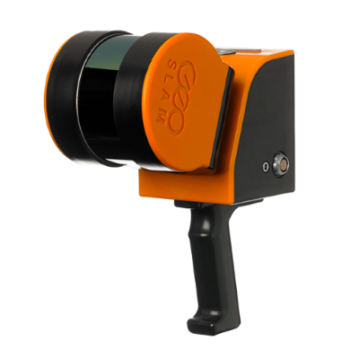
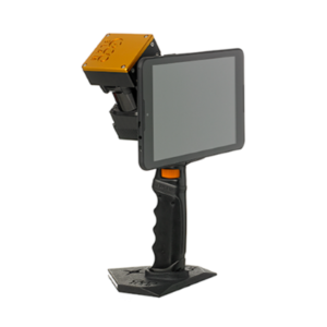
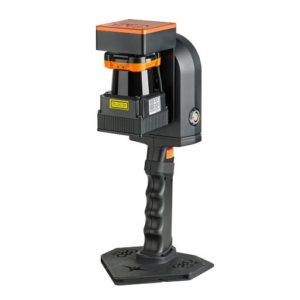
With a range of 100m, the ZEB Horizon is great for outdoor use including spaces where features are positioned further apart. It’s lightweight and compact design also make it perfect for indoor surveys.
ZEB Horizon is your tool to capture, process and understand the world around you.
Survey grade point cloud in minutes
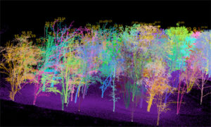
- With one button operation, you’ll be up and running fast – capturing survey grade data in minutes.
- Process a point-cloud quickly using our the intelligent point cloud processing platform GeoSLAM Hub.
- GeoSLAM data is compatible with software that works for you with universal file formats (LAZ/LAS/PLY/TXT/e57).
One tool. So many ways to use it
ZEB Discovery
LiDAR and high resolution imagery from the ZEB Discovery with ultra-high definition imagery from the NCTech iStar Pulsar camera.
ZEB Locate
Connect your point cloud to the real world, without the need for external control points with the ZEB Locate.
UAV Mount
Mount the ZEB Horizon to a UAV and take to the skies for complete coverage of all features.
ZEB Pano
Use the ZEB Pano for adding 360° panoramic photography to your point clouds (also available for ZEB Revo RT and ZEB Go).
Car Mount
Vehicle mounted data collection for urban road layouts, features and signage.
Cradle & Pole
Elevate or lower your ZEB Horizon into difficult spaces like ceiling voids and manholes (also available for ZEB Revo RT and ZEB Go).


