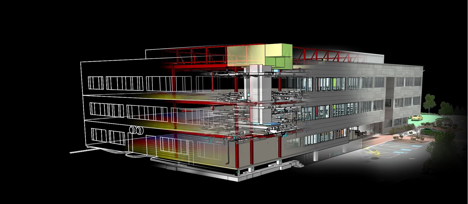
Model Coordination provides a coordination space to upload, review, and run a clash service on your latest set of project models. During a construction project,… Read More
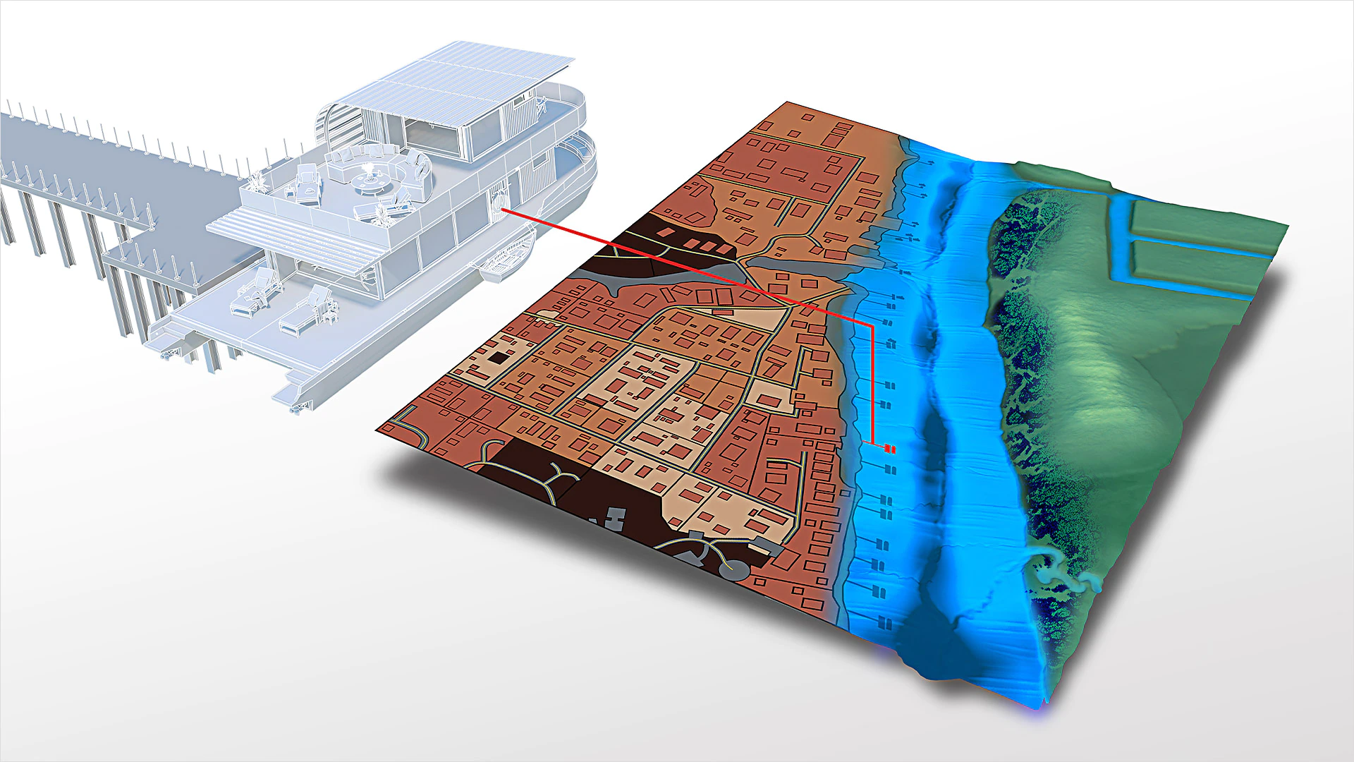
The model-based GIS mapping software provides access to CAD and GIS data to support planning, design, and management. With the Map 3D toolset, you can… Read More
Use raster design tools in a specialized toolset to edit scanned drawings and convert raster images to DWG™ objects. With the Raster Design toolset, you… Read More
